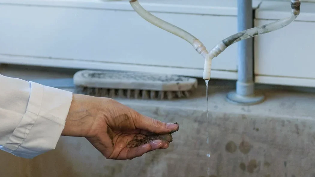
A run-of-river hydro project in the Margaree River valley ran into real trouble. Six boreholes logged similar fracture counts, but two showed artesian flow during grouting—completely missed by lab perm tests on intact core. The contractor had to redesign the cutoff wall, and the delay cost the developer a full construction season. That job is why we push for in-situ permeability whenever the rock mass controls the hydraulic regime. On this island, where glacial till blankets fractured Horton Group sandstone and Windsor Group evaporites, a lab permeameter tells you about the matrix, while a Lugeon test shows what the fractures actually do. Combined with SPT drilling to define the overburden stratigraphy, the field data saves projects from expensive groundwater surprises.
A five-step Lugeon curve distinguishes laminar rock-mass flow from fracture dilation or washout—insight no lab test provides.
Process and scope
Local considerations
With roughly 100,000 people spread across an island that gets 1,400 mm of rain a year, Cape Breton's groundwater regime is tightly coupled to surface hydrology. Snowmelt in the Highlands and nor'easter storm surges both drive transient pore-pressure spikes that can destabilize cut slopes and overwhelm foundation drains. A single Lugeon value of 15 Lu in a dam footprint isn't just a number—it predicts grout consumption, curtain depth, and long-term uplift pressure under the structure. Ignore it, and you risk internal erosion through karstic openings in the Windsor Group gypsum, a scenario that has caused sinkholes and dam safety issues elsewhere in the Maritimes. The field test also anchors the slope stability model: in partially saturated till, knowing the saturated hydraulic conductivity is the first step toward a credible pore-pressure distribution for limit-equilibrium analysis.
Applicable standards
ASTM D6391-11 standardizes field measurement of hydraulic conductivity; the ISRM Suggested Method for Lugeon Test (1988) guides in-situ permeability testing; NBCC 2020 Division B, Part 4 addresses structural design with groundwater considerations; and CSA A23.3 ensures concrete structure durability and watertightness.
Related services
Single-Packer Lugeon Profiles
Five-stage pressure testing in NQ or HQ boreholes, with pressure, flow, and recovery logged at 60-second intervals per ASTM D6391.
Stage-Lefranc in Overburden
Variable-head or constant-head Lefranc tests in cased boreholes through glacial till, alluvium, and weathered rock, reported as in-situ hydraulic conductivity.
Grout Take Estimation
Using Lugeon value and pressure-flow curve shape to calculate grout hole spacing, mix design, and injection pressures for rock curtains.
Pumping Test Support
Installation of observation piezometers and data-logging transducers for single-well or multi-well aquifer tests where higher-yield water supplies are involved.
Typical parameters
Questions and answers
What's the difference between a Lefranc test and a Lugeon test?
A Lefranc test measures hydraulic conductivity in soil or heavily weathered rock, usually in a short section of open borehole below the casing. A Lugeon test is designed for competent fractured rock: a packer isolates a discrete interval, and water is injected at five stepped pressures. The Lugeon value (litres per metre per minute at 1 MPa) and the shape of the pressure-flow curve tell you about fracture connectivity and flow regime—information a Lefranc test cannot capture.
How long does a single Lugeon test take in the field?
For one 3–5 m interval, expect 45 to 75 minutes of active testing, plus packer setup and borehole conditioning. A typical day on a Cape Breton site yields four to six test intervals, depending on access and water supply logistics.
Can you run a Lugeon test in an angled borehole?
Yes, and we do it regularly for dam abutments and tunnel alignment investigations. The packer system must be carefully centralized, and the test interval is oriented to intersect specific joint sets. Pressure corrections for inclined intervals follow the ISRM suggested method.