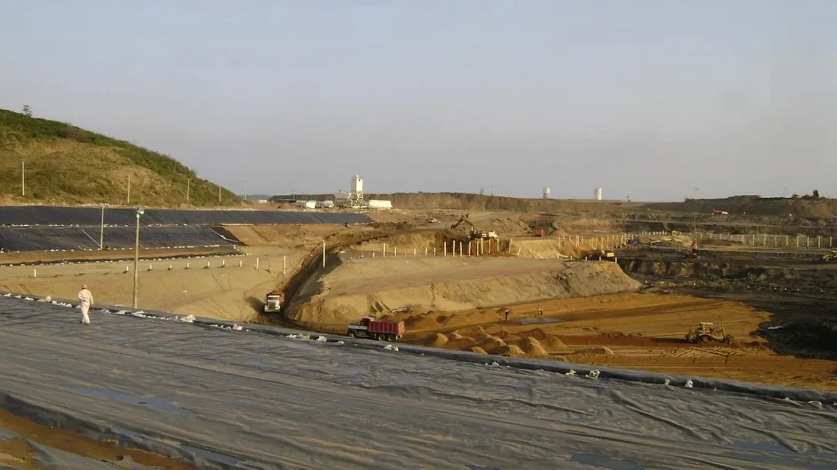
A surprisingly common mistake on Cape Breton projects is treating every excavation like a straightforward cut in competent rock. Then the backhoe hits a seam of saturated coal waste or an undocumented mine void at three meters depth, and the entire shoring plan collapses. The Carboniferous geology across Cape Breton Island, from the cliffs of Ingonish to the drumlin fields near Mabou, is riddled with interbedded shales, sandstones, and legacy mine workings that make deep excavation design a discipline requiring far more than standard textbook solutions. In our experience, successful projects start with a detailed stratigraphic model that maps the transition from glacial till into the underlying Windsor or Mabou Group bedrock, because the interface between overburden and weathered rock is where almost every unexpected condition hides. When the excavation exceeds four meters in Cape Breton's variable ground, we integrate slope stability analysis early in the planning phase to evaluate whether a cantilever soldier pile wall is feasible or if the site demands a tied-back system anchored into competent Sydney Mines Formation sandstone.
Cape Breton's ground does not fit a textbook profile: interbedded coal measures, legacy mine voids, and high perched water tables demand a design approach that treats uncertainty as the starting assumption.
Process and scope
Local considerations
The hydraulic excavator with a rock hammer attachment is the tool that most often reveals Cape Breton's subsurface surprises. When the hammer hits a void in the coal measures, the sudden drop in resistance tells the operator what the borehole logs might have missed: an undocumented room-and-pillar working from the early 1900s. These voids, common throughout the Sydney Coalfield which underlies much of eastern Cape Breton Island, introduce collapse risks that no amount of conservative shoring can ignore. A void just two meters behind a soldier pile wall effectively removes the passive resistance zone that the design relied upon. The other failure mechanism we see repeatedly involves rainfall-triggered softening of the shale bedrock at excavation base level. The Mabou Group shales, in particular, slake rapidly when exposed to air and water, losing up to sixty percent of their unconfined compressive strength within a week of exposure. This degradation can lead to basal heave in deep cuts if the design does not include a prompt blinding layer or if the excavation sequencing leaves the base unsupported through a wet weekend. In the drumlin terrain of western Cape Breton, the risk shifts to rotational slides in the silt-rich till when cut faces exceed a 1H:1V slope without adequate bench cuts or soil nailing.
Applicable standards
National Building Code of Canada (NBCC 2020) – Part 4 Structural Design, CSA A23.3:19 – Design of Concrete Structures (for shoring walls), ASTM D1586-18 – Standard Penetration Test (overburden characterization), CAN/CSA-S6-19 – Canadian Highway Bridge Design Code (earth pressure sections), ASTM D2488-17 – Visual-Manual Description of Soils, FHWA Geotechnical Engineering Circular No. 4 – Ground Anchors and Anchored Systems, and the Occupational Health and Safety Act (Nova Scotia) – Excavation and Trenches Regulations.
Related services
Shoring Design and Peer Review
We develop shoring designs for excavations up to 18 meters depth, including soldier pile and lagging walls, secant pile walls, and shotcrete-faced systems. Each design accounts for Cape Breton's perched groundwater, coal seam discontinuities, and the slaking behavior of local shales. We also provide independent peer review of contractor-submitted shoring designs for compliance with NBCC Part 4 and Nova Scotia occupational safety requirements.
Mine Void Risk Assessment and Mitigation
For projects within the Sydney Coalfield footprint, we conduct desktop reviews of historical mine abandonment plans, supplemented by targeted drilling and downhole camera surveys. When voids are confirmed, we design mitigation measures including grout filling via compaction and permeation grouting techniques, or structural bridging slabs that span known workings without relying on the compromised ground below.
Typical parameters
Questions and answers
What is the typical cost range for geotechnical design of a deep excavation in Cape Breton?
How do Cape Breton's coal mine workings affect deep excavation design?
The Sydney Coalfield extends beneath much of eastern Cape Breton Island, and many workings from the late 1800s through the mid-1900s were mapped with less precision than modern standards demand. A void located behind a shoring wall reduces passive earth pressure resistance and can cause sudden collapse if not detected. Our design process always includes a historical mine plan review, and when borehole data or geophysical surveys suggest voids, we adjust the shoring geometry, add grouting, or design a structural slab to bridge the affected zone.
What dewatering approach do you recommend for deep digs in Cape Breton?
Most Cape Breton excavations deeper than three meters encounter groundwater, especially in the coastal areas and river valleys where the water table sits within two meters of the surface. We typically specify a combination of perimeter wellpoints for granular overburden and deep sumps within the excavation footprint for fractured bedrock inflows. The design must account for the low permeability of the underlying shale, which often causes water to perch in the till and create unexpectedly high pore pressures at the shale interface.
How long does the design process take for a typical deep excavation project?
A typical shoring design for a five-to-ten-meter excavation in Cape Breton takes three to four weeks from receipt of the geotechnical investigation report to issuance of stamped design drawings. This timeline allows for the necessary iterative analysis of lateral earth pressures, structural member sizing, and coordination with the contractor's proposed sequencing. Projects requiring mine void assessment or complex groundwater modeling may extend to five or six weeks.