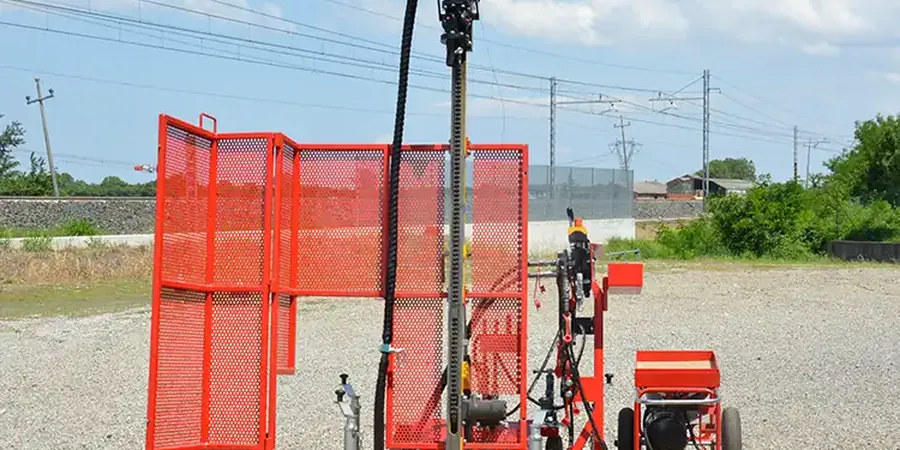
One of the most expensive mistakes we see on Cape Breton projects is treating the whole island like it has uniform soil. You dig in Sydney and hit stiff glacial till within a few feet; drive twenty minutes toward the Bras d'Or Lake and suddenly you're in sensitive marine silts that lose strength when disturbed. The difference in bearing capacity between those two profiles can change your foundation cost by thirty percent, and guessing wrong means change orders nobody budgeted for. A properly executed SPT program gives you actual N-values at depth, not assumptions. When we drill an SPT borehole, we are not just counting hammer blows. We are mapping the stratigraphy that tells you whether your footings will sit on competent material or whether you need to consider stone columns as a ground improvement strategy before structural design even starts. For shallow bedrock conditions common around the Sydney coalfields, the SPT refusal depth often dictates whether you are looking at spread footings or a more complex mat foundation, and knowing that early keeps the budget honest.
SPT refusal on shallow bedrock in Cape Breton is a construction fact—knowing exactly where that refusal happens is what keeps your excavation budget from blowing out.
Process and scope
Local considerations
Cape Breton sits about 130 meters above sea level at its highest urban points, but the real risk number is the seismic hazard—the 2020 NBCC assigns a PGA of roughly 0.12g to the region, which is modest but not negligible when you are building on soft estuarine deposits along the Sydney Harbour shoreline. SPT data is the first line of defense against underestimating site class. If you skip SPT and assume Site Class C for a quick design, but your actual Vs30 profile from N-value correlation puts you in Site Class E, your seismic base shear jumps significantly. That is not a paperwork detail; it is a structural redesign that costs time and steel. We have pulled SPT samples from harbor-fill zones near the former steel plant where the blow count stayed below four for twenty feet—material that would settle differentially under any serious load unless addressed with vibrocompaction or deep foundations.
Explanatory video
Applicable standards
ASTM D1586-18 outlines the standard test method for the Standard Penetration Test (SPT) and split-barrel sampling of soils; NBCC 2020 specifies seismic site classification via SPT N-values; and CSA A23.3 governs concrete structure design using foundation bearing capacity inputs derived from SPT data.
Related services
Bearing Capacity & Settlement Analysis
We convert SPT N60 values to allowable bearing pressures using Meyerhof and Bowles correlations, specific to Cape Breton glacial till and marine silt conditions, so your structural engineer gets design-ready numbers.
Liquefaction Screening
For projects near water bodies like the Bras d'Or Lake or Sydney Harbour, we run NCEER simplified procedure analysis on SPT data to flag liquefiable layers and recommend mitigation depth.
Seismic Site Classification
Using NBCC 2020 Table 4.1.8.4.A, we assign Site Class from A to E based on average N-values or Vs correlation, directly impacting your seismic design category.
Typical parameters
Questions and answers
What does an SPT test in Cape Breton typically cost?
How many SPT boreholes does my project need?
The number depends on your building footprint and the variability of Cape Breton's glacial stratigraphy. For a single-family residence, two to three boreholes spaced across the foundation corners is typical. For a commercial building in Sydney, we follow NBCC Table 4.2.4.1 guidance, which usually means a minimum of one borehole per 200 square meters, with additional soundings if we encounter erratic refusal depths.
How deep do you drill for SPT in Cape Breton?
We drill until we hit the depth where stress increase from the foundation becomes negligible—typically 1.5 to 2 times the footing width—or until bedrock refusal. In the Sydney area, refusal on sedimentary rock often occurs between 15 and 40 feet. In the Margaree Valley, where alluvial deposits are deeper, we may advance to 60 feet or more to characterize compressible layers.
Can SPT data tell me if I need a retaining wall?
SPT data gives you the soil strength parameters—friction angle and cohesion estimates from N-value correlations—that feed directly into lateral earth pressure calculations. If your excavation is deeper than four feet and the SPT shows loose sands or soft silts in the cut face, a retaining wall analysis becomes mandatory under occupational health and safety requirements, and our data provides the geotechnical baseline for that design.